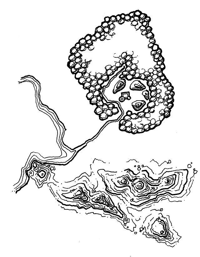
Map experiments: mountains
26 Apr 2019I have been getting back into drawing maps lately. I find representing mountains using pure lines, without shading, a bit tricky. After some experimentation with cross-hatching, I tried out something based on topographical maps and contour lines to suggest volume. It still needs some work, to distinguish more clearly mountains from islands, but I like the direction.